
-

Should I Get a Captain’s License?
If you spend a lot of time on the water and own a boat, the thought of getting a captain’s license may have crossed your mind. This is a common question for any boat owner or someone who has toyed with the idea of running charters from their boat. Before diving in, it’s important to…
-
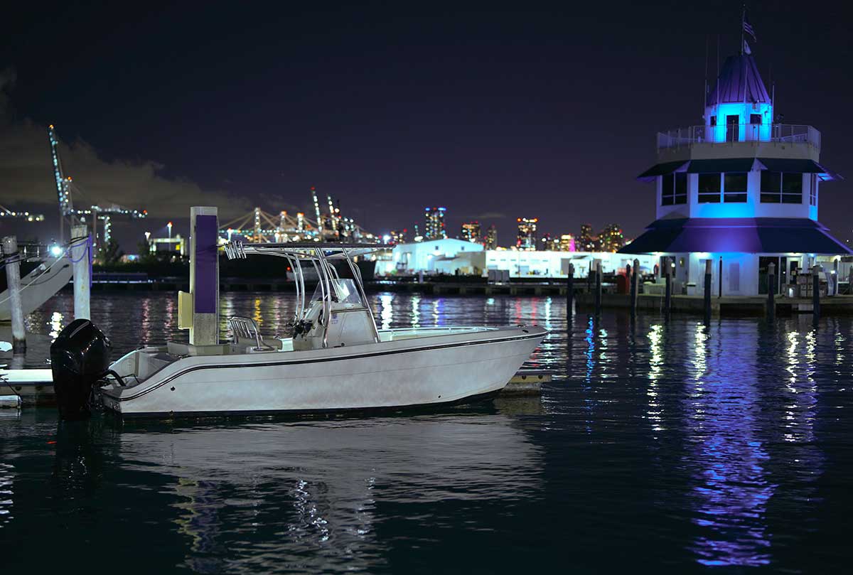
Nighttime Boating Mistakes and How to Avoid Them
There is something special about boating at night. Whether it’s the stunning sunsets, the skyline shimming in the distance, or the wide-open sky with more stars than can ever be seen from land, there is something extraordinary about boating at night. But nighttime boating also brings about a whole new variety of complications that can…
-
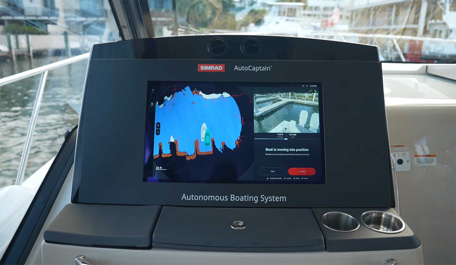
Simrad AutoCaptain – Autonomous Docking
Docking in close quarters during adverse conditions can sometimes be challenging, even for seasoned boaters. Crosswinds and crosscurrents, surrounded by mega superyachts and weekend warriors – navigating in these typical South Florida conditions can sometimes be daunting. Add the pressure of docking a six- or seven-figure vessel, and it can take the fun out of…
-

Marine Myths and Legends
Sea captains and sailors are a hearty and capable bunch. The type of strong-willed, can-do people you want in your corner when the going gets rough. But what’s up with all the myths and legends prevalent among nautical circles? Is it a little too much salt air? For whatever reason, legends and myths have captivated…
-

Boat Maintenance Hacks: Keeping Your Vessel Shipshape on the Cheap
Boat owners know how expensive they are to acquire and maintain. I’m sure you’ve heard that the acronym for BOAT stands for “break out another thousand.” Sure, many repairs and maintenance can run into the thousands of dollars. Still, there’s a lot you can do on the cheap with a little effort to help avoid…
-

Deep Sea Fishing Off Miami
Whenever I visit Miami, I make it a point to go fishing. Miami has gorgeous weather year-round, and my visit would not be complete without venturing offshore to do some deep-sea fishing.